


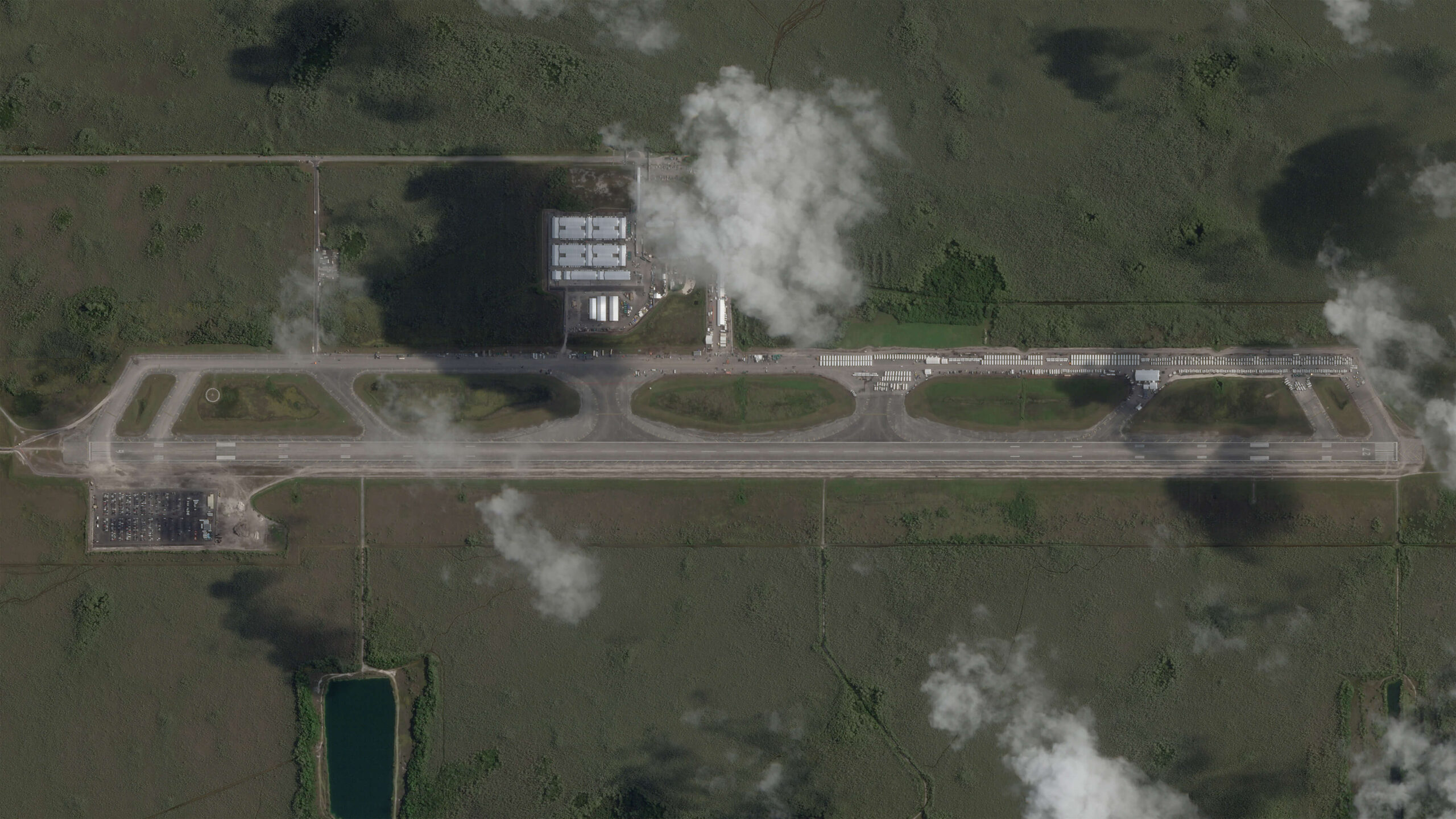
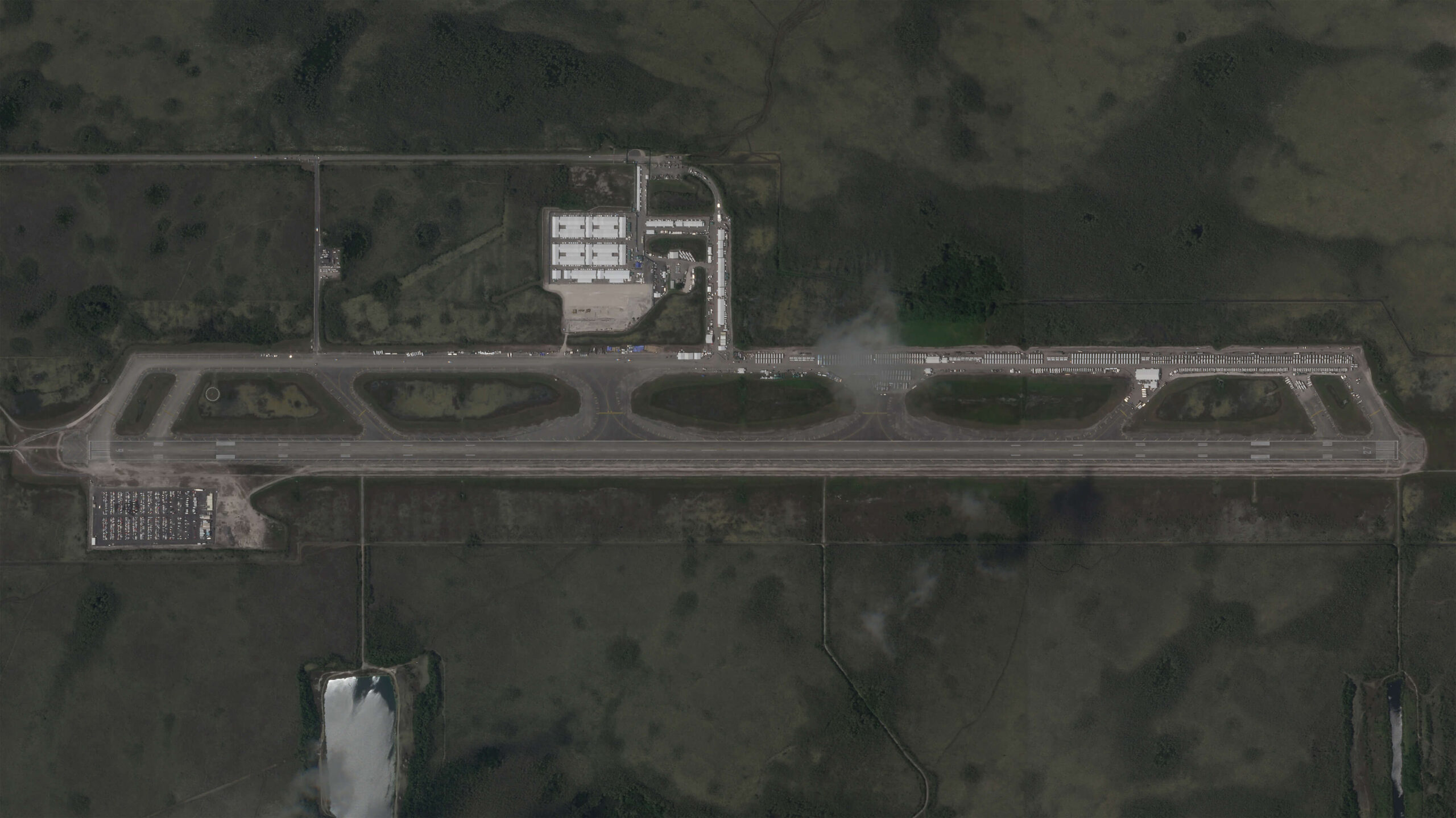
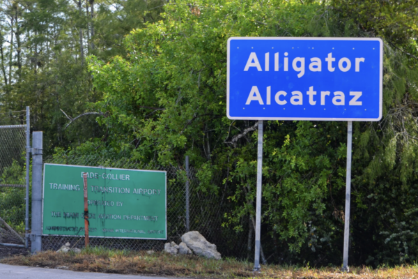
Built in a flash
New satellite imagery shows rapid construction of “Alligator Alcatraz."
When construction first started on the plot of land just north of Everglades City in 1968, state officials had big plans.
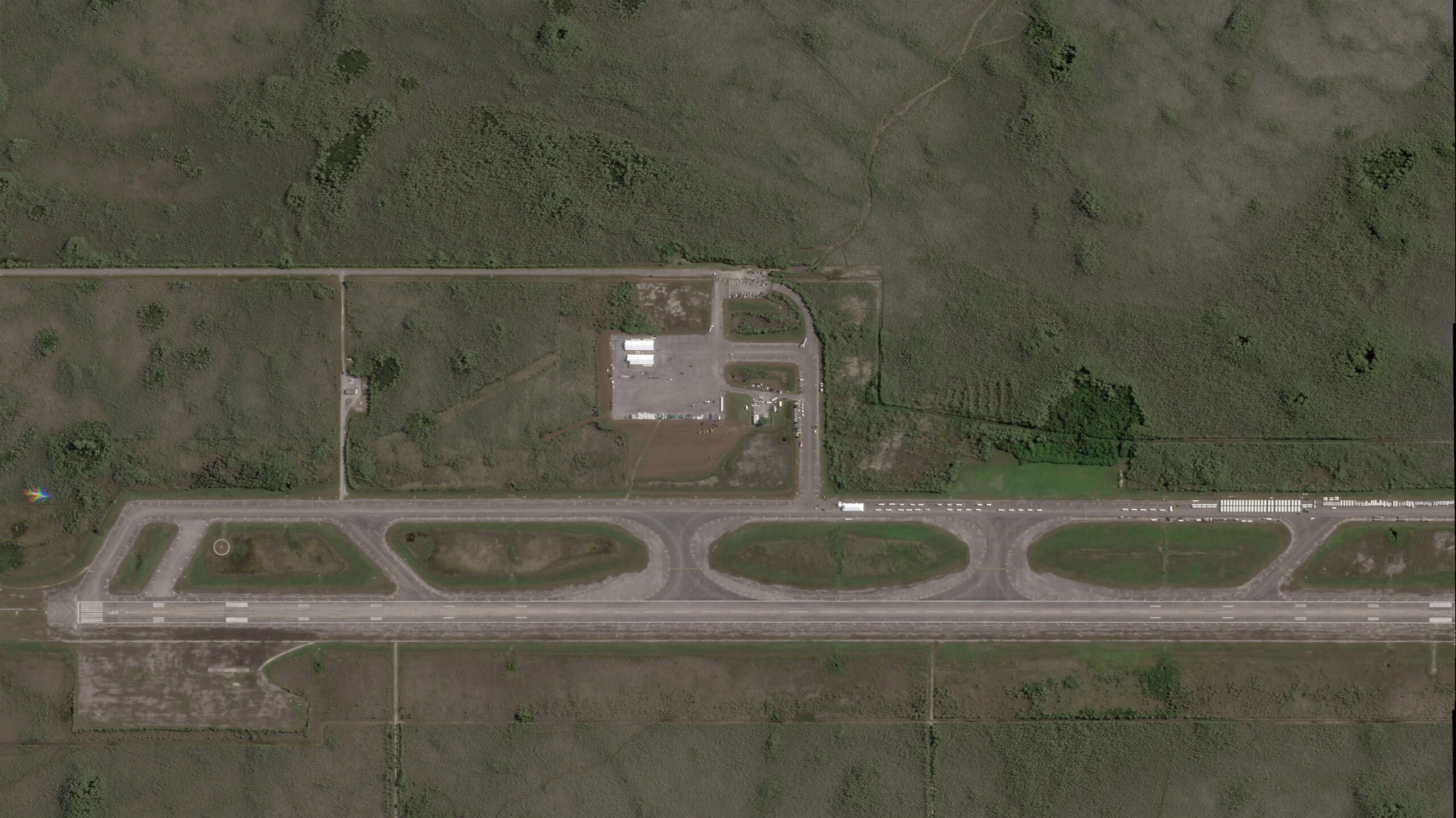
The site was set to transform into the largest airport in the world, Big Cypress Jetport. With plans for six runways spanning across 39 square miles, it would have measured about five times greater than New York’s JFK Airport.
But only one runway was built and it later shut down due to environmental concerns.
For over half a decade it lay essentially abandoned and forgotten, with nothing but an occasional airplane to show for its former glory.
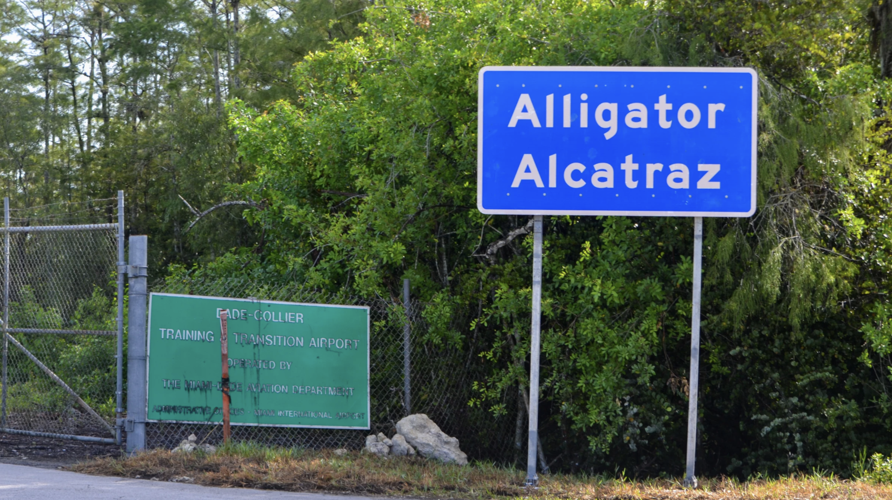
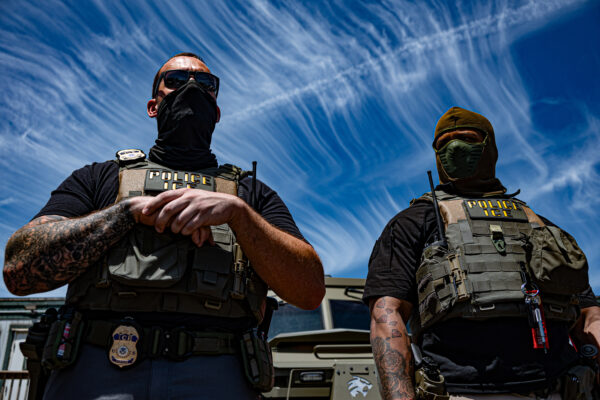
Now, history could repeat itself and the site — now used as a detention and deportation site for undocumented immigrants — could lay empty once again, as hundreds of detainees were transferred out of the site following a district court judge ruling in late August.
A judge ordered the state to halt construction and influx of immigrants after monthslong legal efforts from environmental groups and representatives calling for the site’s shutdown.
Once the immigrants were transferred out of the site, commonly dubbed as “Alligator Alcatraz,” their status was unknown. Almost two-thirds of the over 1,000 estimated detainees held inside disappeared, with no record of them on ICE’s online database, according to the Miami Herald.
As for the current status of the legal battle, Kevin Guthrie, the DeSantis-appointed executive director of the Florida Division of Emergency Management, appealed the case to be heard in the federal appeals court in Atlanta.
Satellite Imagery: A New Frontier
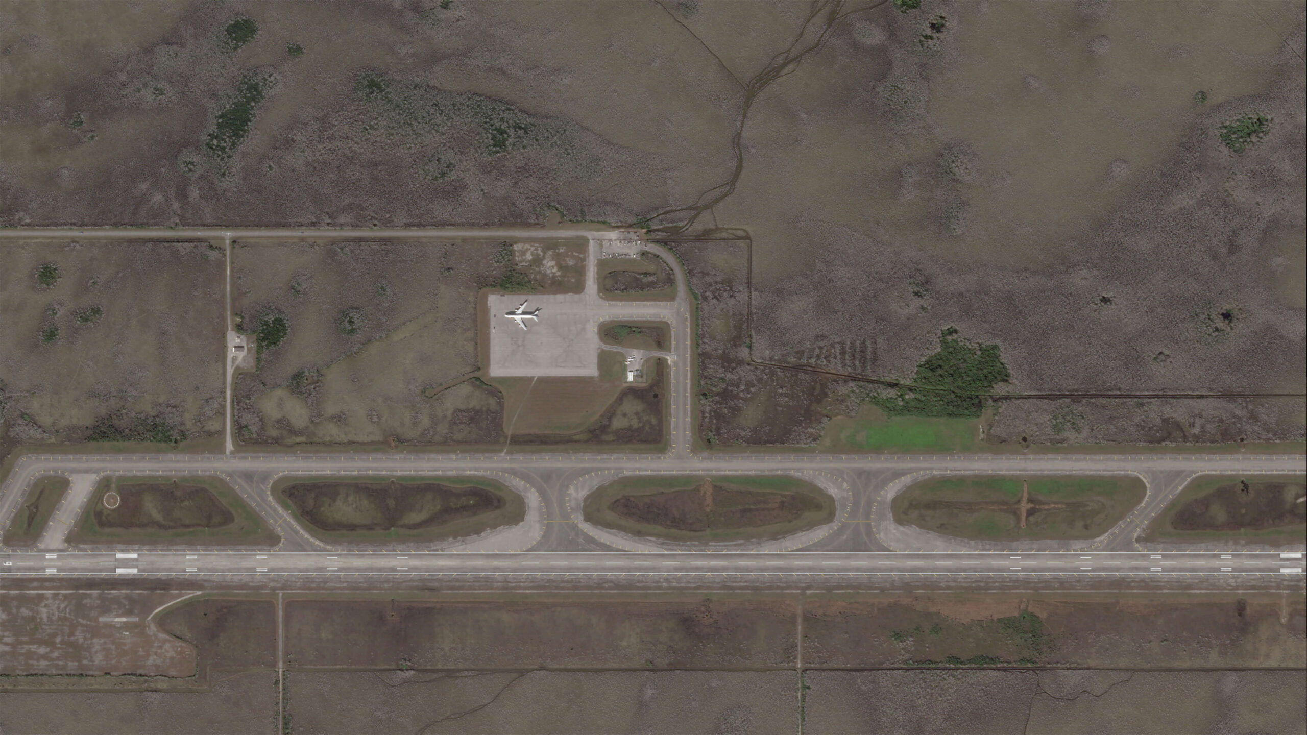
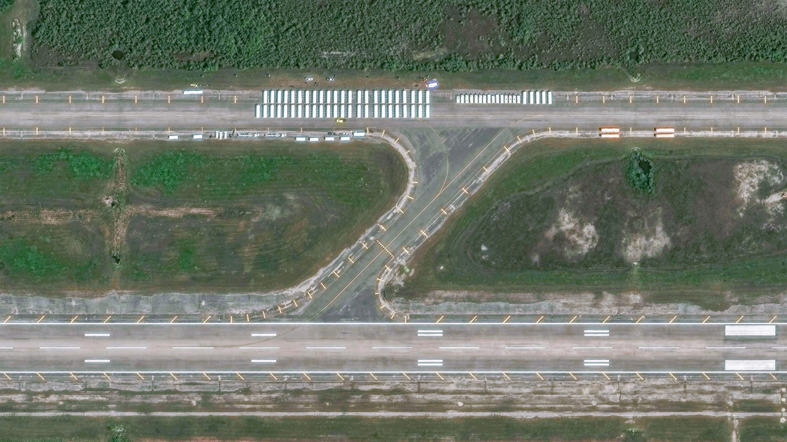
Maxar Technologies, one of the satellite image capturing companies depicting the site, can capture high-resolution detail down to the front windshield of a car. It uses its 10 current orbiting satellites — all of which are about 400 miles away — to allow viewers to see the most up close and transparent image.
With the images at 30 centimeter resolution, that means seeing details like explosions, fires or mass activity which normal satellite images are usually unable to capture, the company’s senior director, Stephen Wood said. The satellites can also capture details like individual military equipment, he said, which becomes useful in alerting the public to war invasions.
“We can’t see who a person is based on the imagery, but we can see people, especially when they’re out together in a crowd and things like that,” he said. “We can see the windshield of a car. We can see the home field or the home plate on a baseball field.”
One of the biggest differences from Maxar satellites to others: its size.
Satellites like Terra Bella or BlackBridge, both owned by Planet Labs, another leading satellite imagery company, are shorter in height than an average 5 ‘8 person. Maxar’s satellites are more than three times that, and can best be described as the size of a Chevy Suburban, Wood said.
“They’re not tiny little shoe boxes by any means,” he said. “The resolution is the best you can get.
Satellite imagery companies like Maxar are usually employed for high-interest events, he said, including the construction of “Alligator Alcatraz.”
“It was being widely reported in the press and people began coming to us and saying, ‘Can we see it,’” he said. “Just to give that perspective of what it looks like.”
Note: This story was originally published by WUFT News.

A digital journalist at the University of Florida.
More from Enforcement
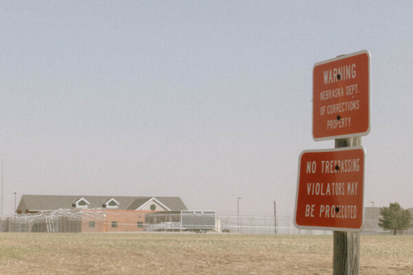
Financial questions linger over ‘Cornhusker Clink’
Story by Ruth Bailey Photos by Julia Trost
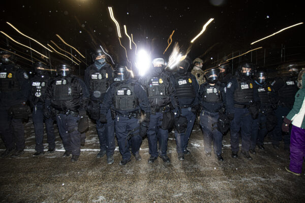
DHS after a turbulent and deadly year
Story by Gian Marco Velásquez Photos by Ike Wood

Life inside Upstate New York’s ICE detention center
Story by Project Staff
ICE expansion after 9/11 attacks
Story by Cooper Andrews & Jack DiNapoli & Patricia Diaz Photos by Ike Wood
Built in a flash: New satellite imagery shows rapid construction of “Alligator Alcatraz”
Story by Kairi Lowery

Venezuelan mother worries family will be separated
Story by Elany Romero Cruz Photos by Ike Wood